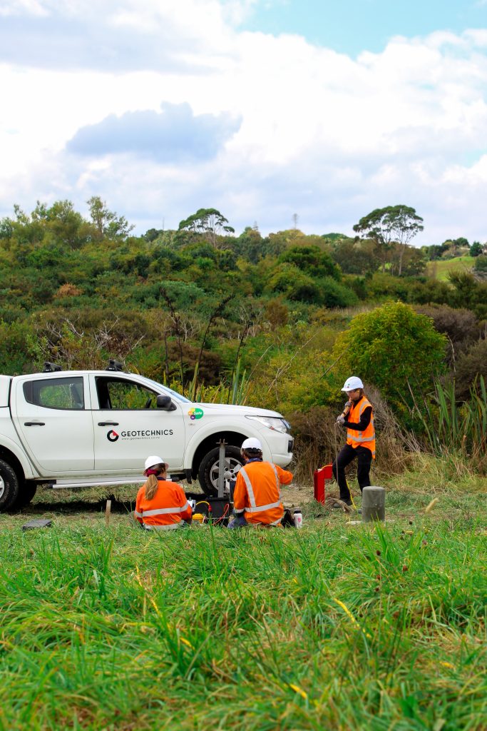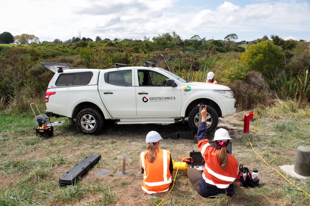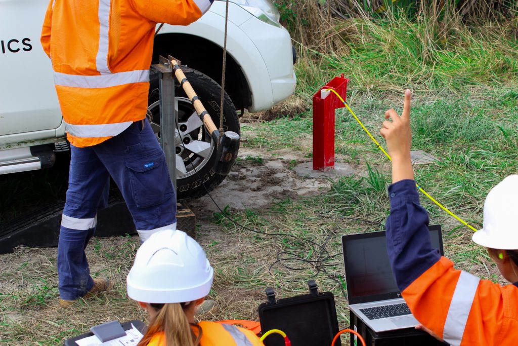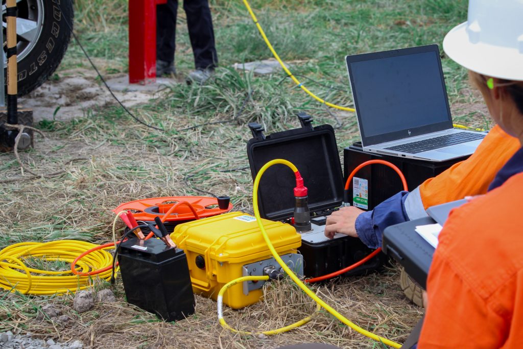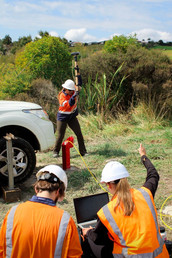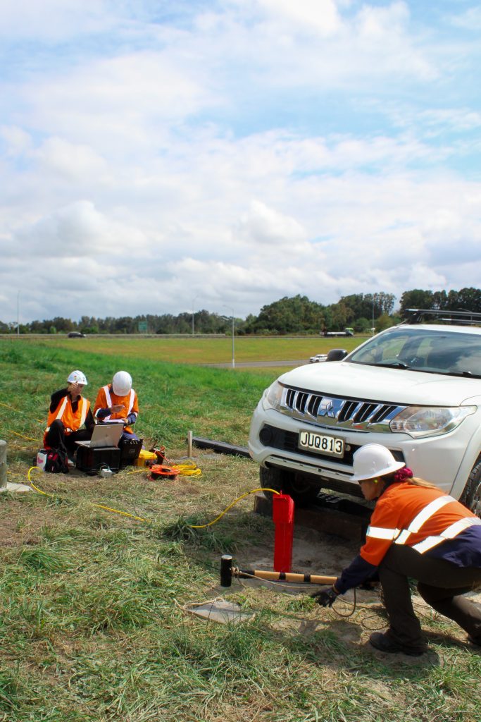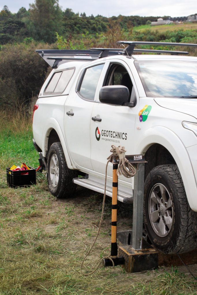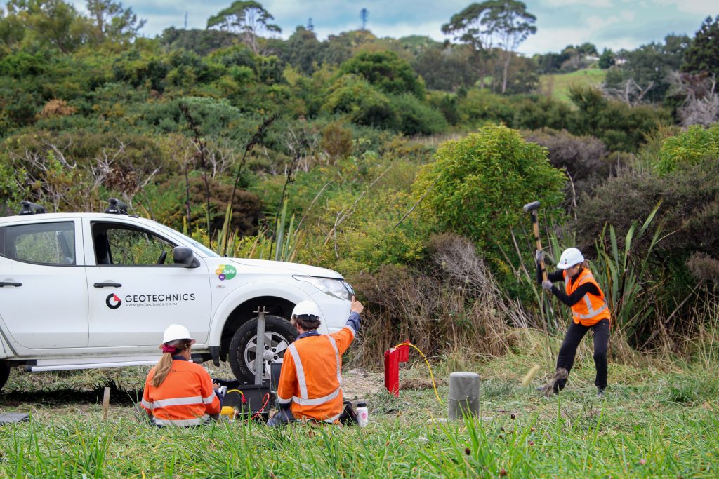

Geotechnics provides surface and borehole geophysics services to help clients better understand subsurface conditions before and during investigation, design and construction. By combining advanced geophysical methods with geotechnical expertise, we deliver practical insights that reduce uncertainty and support informed project decisions.
Our geophysics capability can be used to assess ground conditions, map geological features, investigate groundwater, identify voids, determine seismic site classifications and support a wide range of civil, environmental and infrastructure projects.
Surface Geophysics
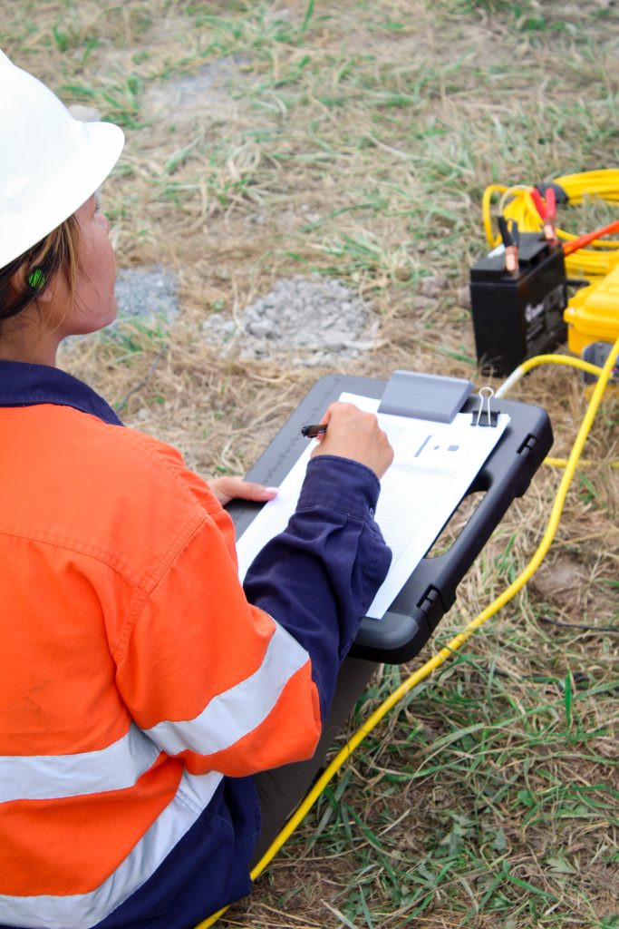
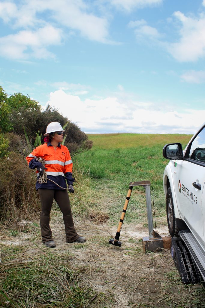
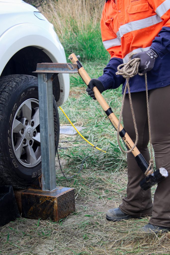
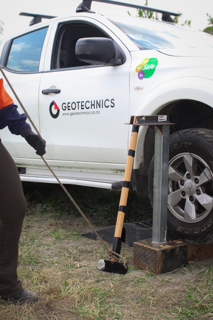
Our non-invasive surface geophysical methods allow large areas to be investigated quickly and efficiently, often reducing the need for extensive drilling or excavation. Our capabilities include surface seismic methods, Electrical Resistivity Tomography (ERT), Vertical Electrical Sounding (VES) and Ground Penetrating Radar (GPR).
Borehole & Downhole Geophysics
Where greater detail is required, our borehole and downhole geophysical services provide direct measurements within drillholes. Our capabilities include Acoustic and Optical Televiewer Logging (ATV/OTV), Mechanical Calliper Logging, Natural Gamma Logging, Downhole Seismic Testing, Seismic CPT (sCPT), Seismic Dilatometer Testing (sDMT) and 360° Downhole Camera Inspections.
To explore the full range of our geophysical services, applications and equipment, download our Geophysics Capability Profile here.
Not sure which geophysical method is right for your project? Our team can help identify the most appropriate solution for your site and project requirements.